Geomatics Lab
The Geomatics Lab is an educational and research laboratory aimed at addressing, describing and innovating the entire geomatics process: data acquisition in the field, automatic and semi-automatic processing, geospatial analysis to extract useful information, spatial data infrastructures, sharing in web environments, final representation of results in multimedia form.
It includes modern survey equipment, photogrammetry, LiDAR scanning and remote sensing also mounted on terrestrial platforms (Mobile Mapping System and Unmanned Ground Vehicle), aerial (drones) and submarine (Underwater Autonomous Vehicle) as well as numerous software for processing the acquired data, restitution, 3D modeling and management of geographic information in a GIS (Geographic Information System).
In the Geomatics Lab, theoretical and applied research projects are carried out also in the multidisciplinary field as survey and monitoring of the territory, the environment and cultural heritage, Geospatial Artificial Intelligence and domain ontologies, resilience of the territory and cultural heritage, thermal, multi and hyperspectral analyzes, sensors innovative and low cost, submarine survey and in complex environments, and so on. It contains spaces dedicated to other interdisciplinary laboratories such as the CC-Moving Lab, the CC-GlacierLab, the CC-PaleoLab in the excellence Department project of DIATI (CC@POLITO), the Polito Center for Service Robotics (PIC4SeR in collaboration with the departments DET, DIMEAS, DAUIN, DAD), the VR@POLITO (in collaboration with with the Drawing to the Future laboratory of DISEG and DAUIN) initiative and the DIRECT students team (DISaster RECovery Team, in collaboration department DAD).
The “Topography - Giuseppe Inghilleri” and “PHOTOGRAMMETRY AND GIS” laboratories are part of the Geomatics Lab.
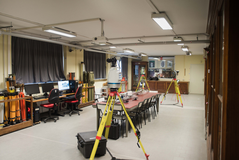 Survey Laboratory
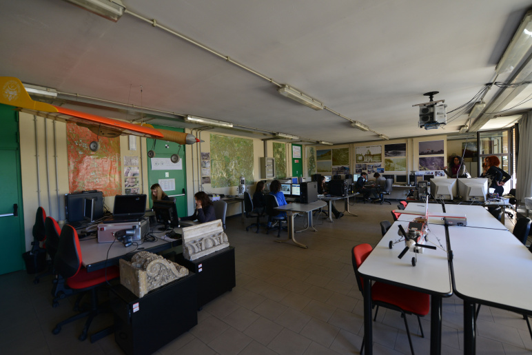 Photogrammetry and GIS Laboratory
| Type | Teaching and research laboratory |
|---|---|
| Phone | 011-090 7658 (Topografia) - 011-090 7666 (Fotogrammetrica) |
| Staff |
|