Topography Laboratory - Giuseppe Inghilleri
In several decades of activity, the Topography laboratory - Giuseppe Inghilleri has transmitted the principles of topographic measurement to thousands of students in the civil, construction and environmental area.
In addition to the classic optical mechanical instrumentation, now historical, the laboratory is equipped with modern precision electronic instruments: levels, classic and motorized total stations, GNSS receivers, inertial platforms IMU, LiDAR, with the related processing software.
The laboratory supports research on satellite positioning, inertial positioning and integrated Mobile Mapping System. The laboratory includes the permanent GNSS station which is part of the inserted EUREF network, from 1996.
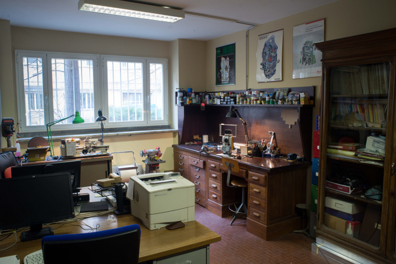
The laboratory carries out instrumental adjustments, customizations and creation of accessory instruments and prototypes for research and external consultancy.
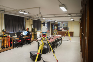
TEACHING AND RESEARCH FACILITIES
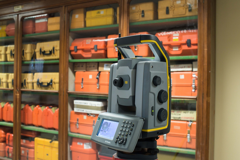 Trimble S7
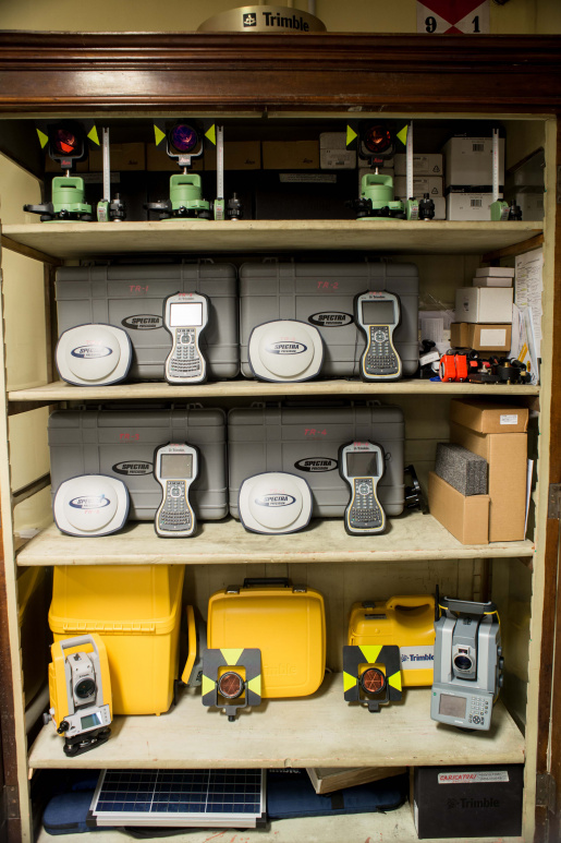 GNSS Spectra Precision SP80 e Trimble TSC3
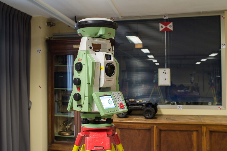 ScanStation Leica MS50 e GNSS GS14
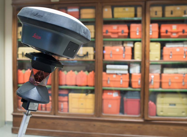 GNSS Receivers Leica GS18
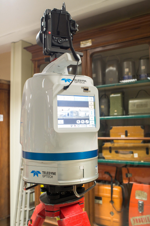 LIDAR POLARIS OPTEC
 Accessories and topographic signals
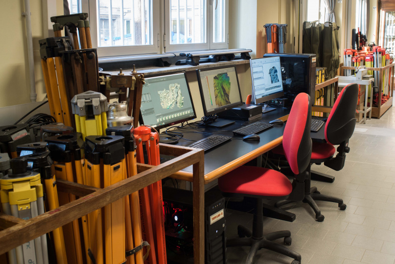 Workstations
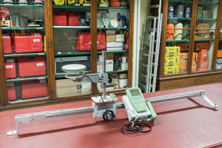 illimeter sled
- Trimble S7: Robotic Total Station
- GNSS Spectra Precision SP80 e Trimble TSC3: Multi frequency and multi constellation Geodetic GNSS Receivers
- ScanStation Leica MS50 e GNSS GS14: Integrated total station and GNSS Receivers
- 6 total stations Cygnus di Topcon: Didattic total stations
- IMU Ellipse D di Ekinox: Inertial measurement unit ang integrated GNSS receiver
- GNSS Receivers: Multi frequency and multi constellation Geodetic GNSS Receivers, with inclinometer
- S7 of Stonex: Multi frequency and multi constellation Handheld GNSS Receivers
- LIDAR POLARIS OPTEC: Longe range LiDAR - in collaboration with cc@GlacierLab
- KAARTA STENCIL: SLAM portable lidar - in collaboration with cc@PaleoLab
- Accessories and topographic signals: Reflector, poles, basements
- Precision mechanical repair
- Workstations
- Millimeter sled: Guide for controlled movements
- DNA03 di Leica Geosystems: Very High Precision Digital Levelling
- 2 NA3003 di Leica Geosystem: Very High Precision Digital Levelling
- 6 NA2002 di Leica Geosystem: Precision Digital Levelling
- Starter di Leica Geosystems: Digital Levelling
- GNSS Permanent station: Multi-frequency and multi-constellation GPS GLONASS and GALILEO Leica GRX1200 + GNSS geodetic receiver, with choke ring antenna
- Bernese: Scientific software suite for GNSS data processing
- Trimble TBC: Scientific software suite for GNSS, total station and photogrammetric data processing
- LEICA Infinity: Suite for GNSS data processing
- Cargo Bike: Cargo pedal-assisted bike
- Historical topographical instruments
| Type |
Teaching and research laboratory |
| Site |
DIATI3 |
| Phone |
+39 0110907658 |
| |
|
| Staff |
Marco Piras - Scientific Manager Nives Grasso - Technical Manager |