Geophysics Lab
RESEARCH EQUIPMENT
SEISMIC INSTRUMENTS: instruments to perform P- and S-wave seismic tomography on the surface or downhole, surface wave tests (MASW and active / passive tomography), downhole and crosshole seismic tests (CHT, DHT), passive characterization and monitoring of sites, analysis of ambient seismic noise and micro-seismicity.
Field of application: geophysical charecterization of the subsurface for environmental, geological, geo-engineering, geotechnical and exploration purposes.
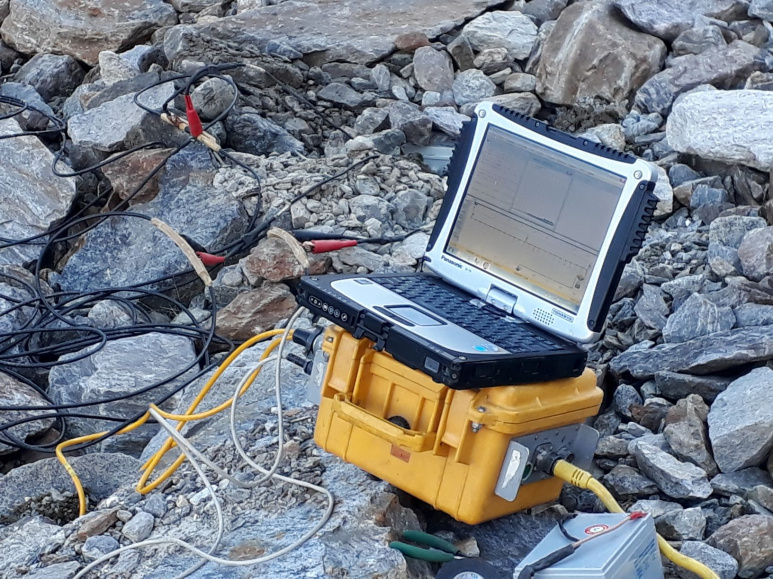 Geometrics Geode 24 ch. seismic unit (with toughbook)
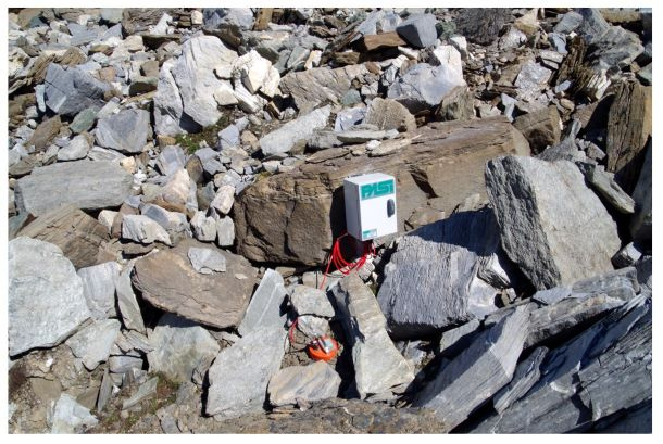
 3D 1 Hz Geophone
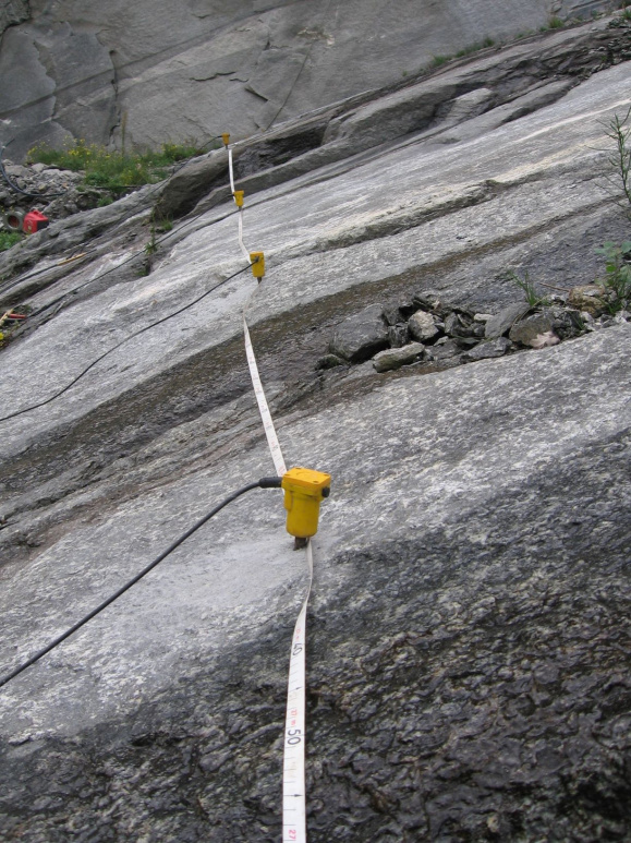 4.5 Hz vertical geophone
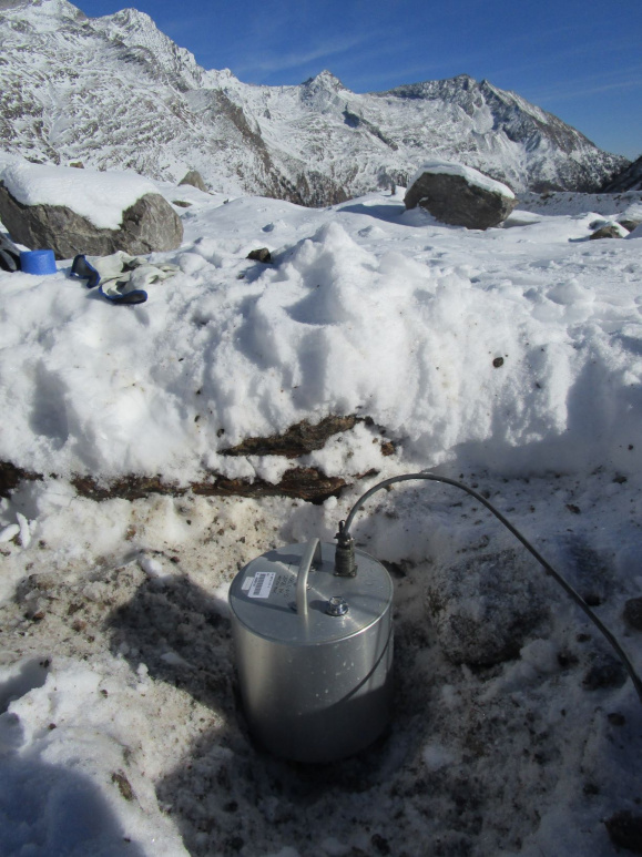
 3D 2 Hz seismic instrumentation
 3D 2 H seismic instrumentation
 30 Hz vertical geophone
 3D borehole multigeophones
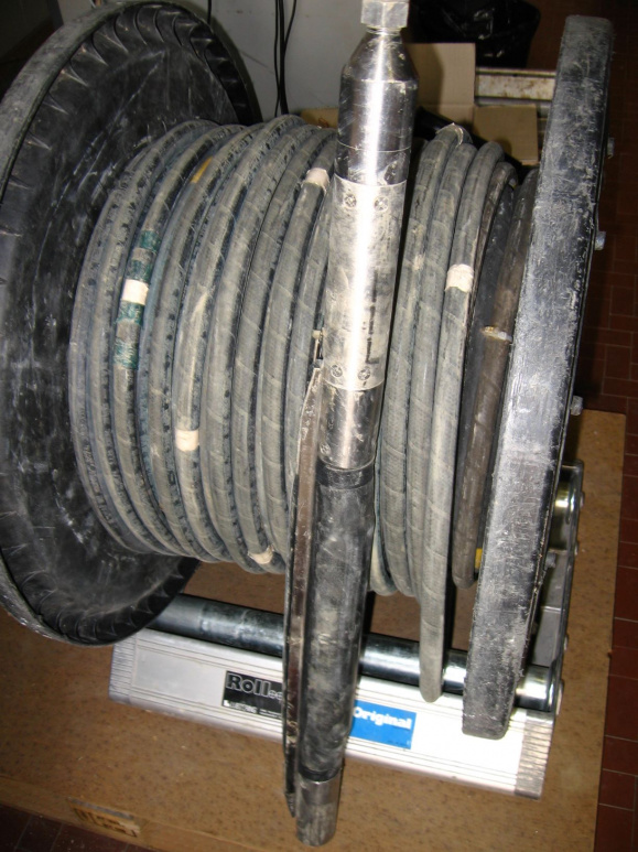 Seismic borehole source
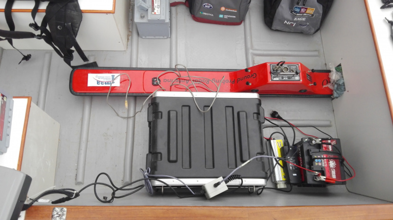
GEORADAR INSTRUMENTS: performed using two transmitters and antenna with frequency range 70 to 2000 MHz for shallow, borehole and airborne acquisitions.
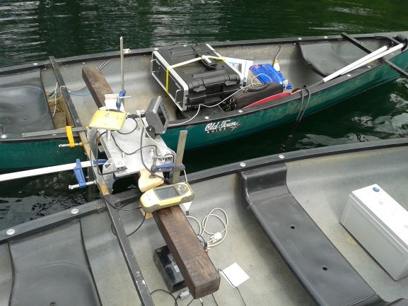
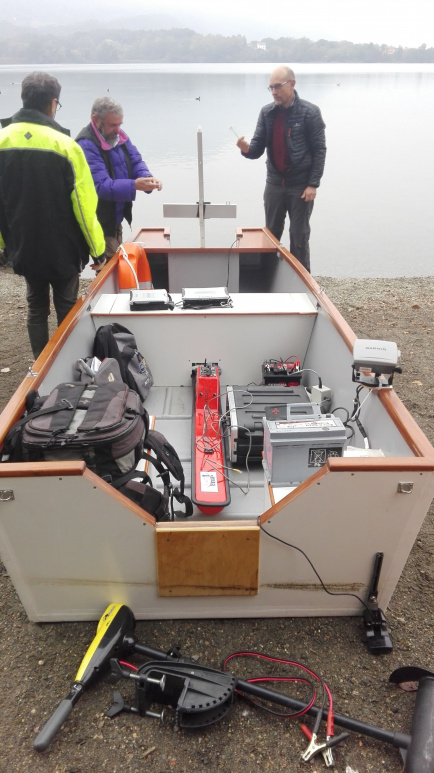
The radar detector can be mounted on the boat designed specifically for geophysical surveys in an aquatic environment.
Field of application: geophysical characterization of the subsurface for geological, geo-engineering and geo-technical purposes. Also, characterization of the cryosphere and high altitude environments, archaeogeophysics and conservation of cultural heritage, and characterizations in the aquatic environment.
 GPR acquisition unit with IDS 200 MHz antenna
 GPR acquisition unit with IDS 2000 MHz antenna
 IDS 2000 MHz GPR antenna
 IDS 300 MHz GPR borehole antenna
 GSSI 500 MHz GPR antenna
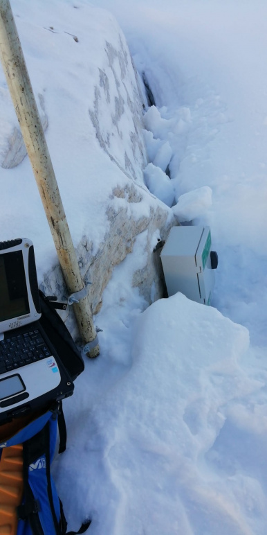
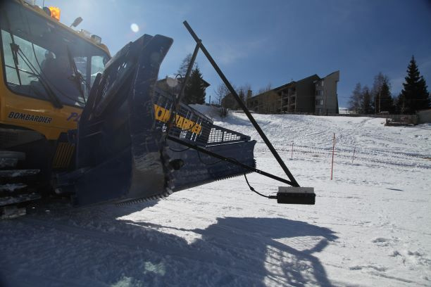 GSSI 900 MHz GPR antenna mounted on snow machine
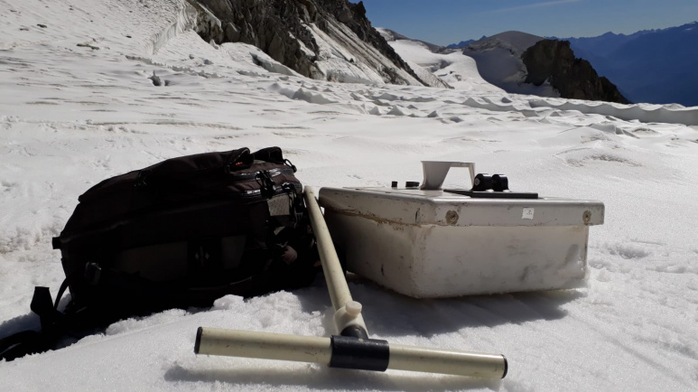
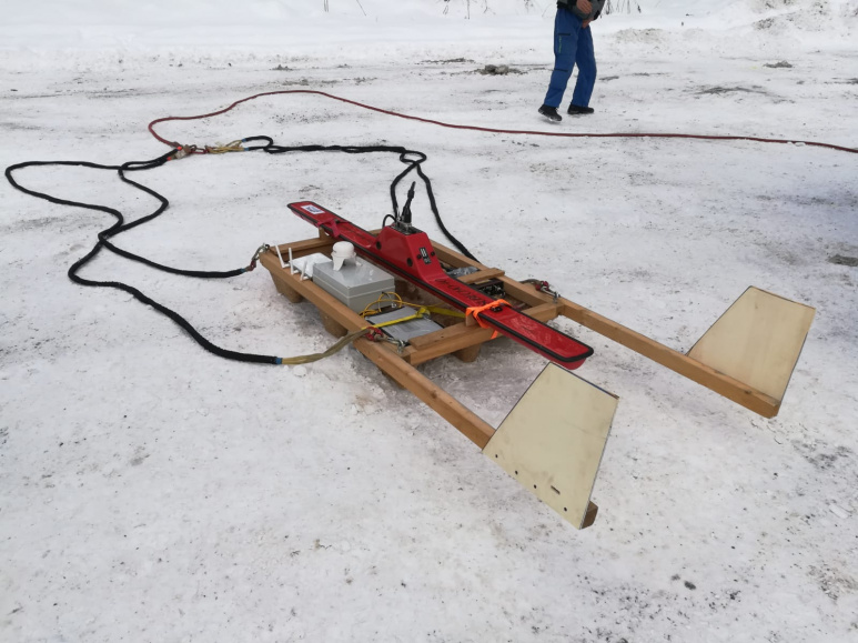
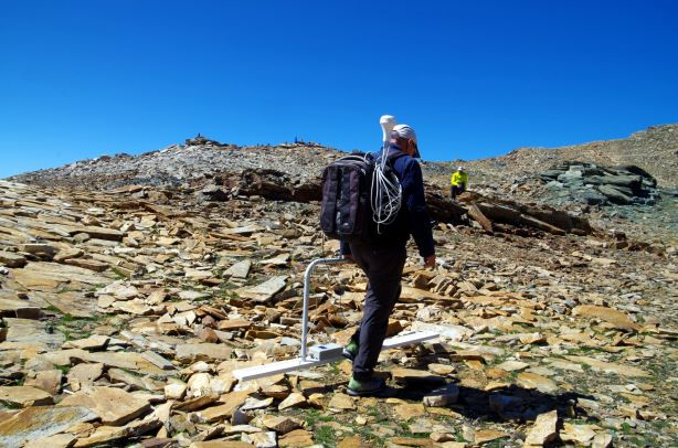
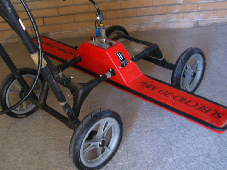 Subecho 70 MHz GPR carried antenna
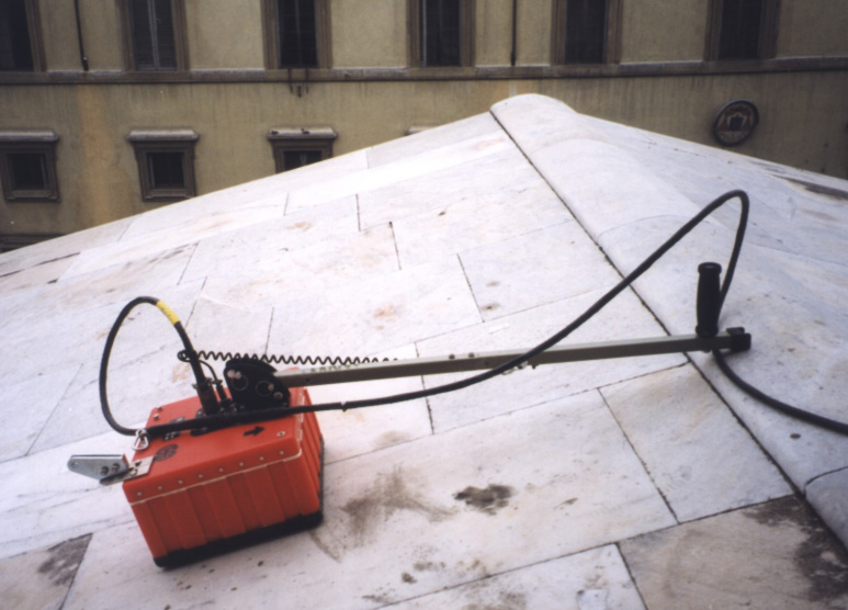
 Subecho 70 MHz GPR antenna
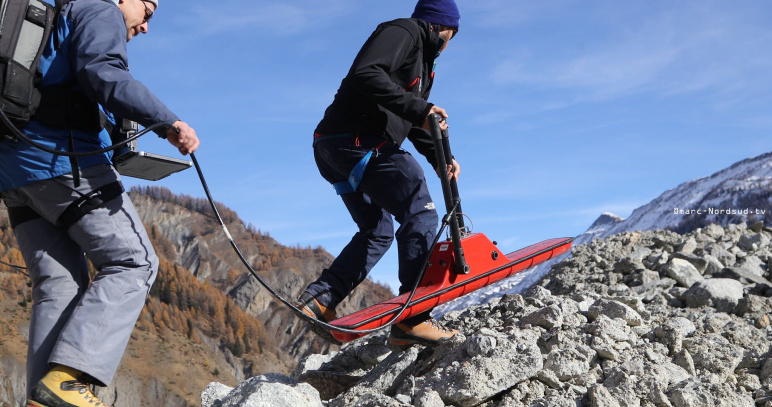
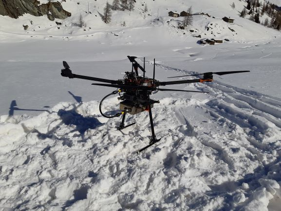
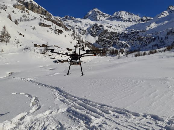
 Antenna Subecho 70 MHz GPR antenna on airborne setup
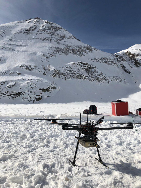 GSSI 900 MHz GPR antenna drone setup

GEOELECTRIC INSTRUMENTS: composed of 2 IRIS Syscal multi-node device with 2, 3 , 5 or 10 m spacing cables and stainless steel and implorazable electrodes. The acquisition can be configured for continous acquisition in marine environment, tomography, vertical and horizontal electrical surveys (SEV and SEO), continous vertical electrical sounding (CVES) in aquatic environment, logs, measurements of apparent resistivity in laboratory and spontanous potentials (SP).
The Geoelectric device can be mounted on the boat designed specifically for geophysical surveys in an aquatic environment.
Field of application: geophysical characterization of the subsurface for geological, geo-engineering and geo-technical purposes. Also, characterization of the cryosphere and high altitude environments, geological and hydrogeological characterization in a marine environment.
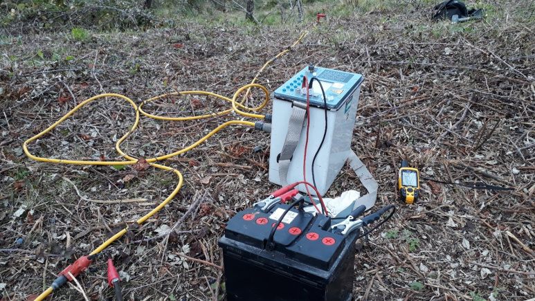 IRIS Syscal Pro 72 ch. ERT acquisition unit
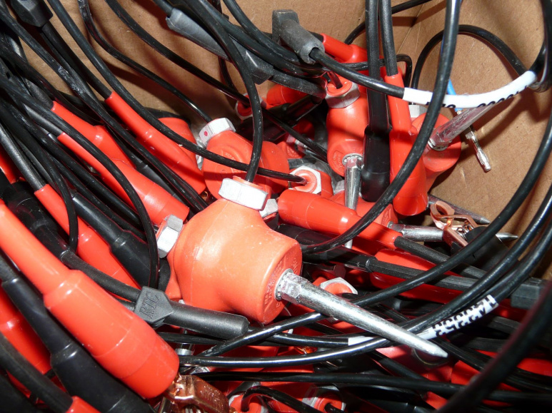
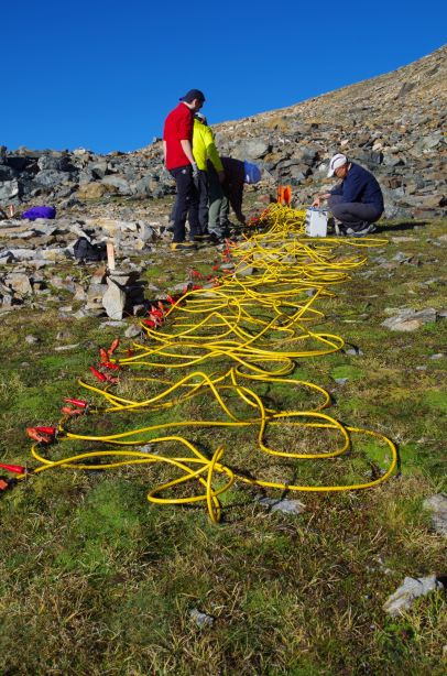
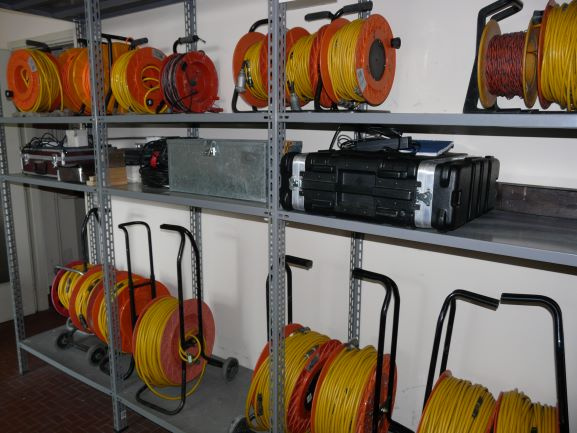 2-3-5-10 m step ERT cables
 Implorazable electrod
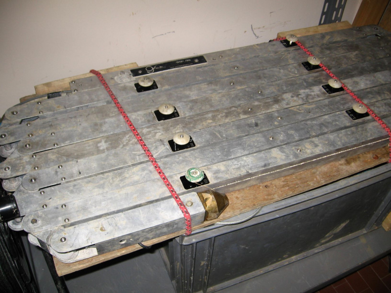
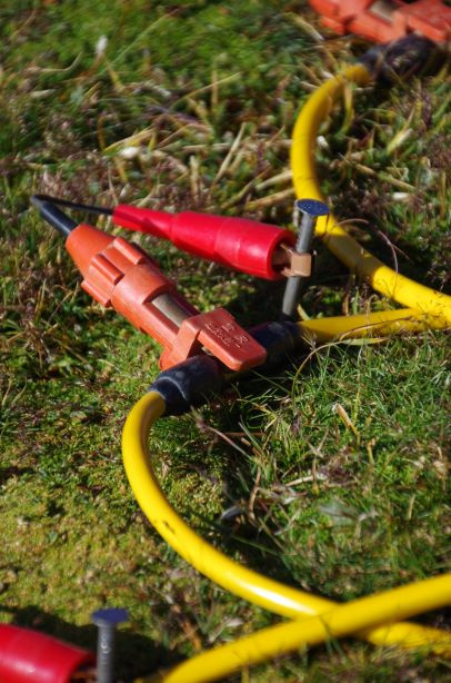
 ERT cable configuration
 Iron electrod
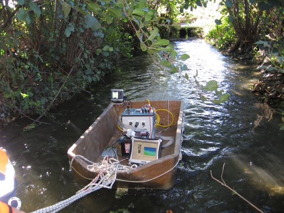 Marine electric acquisition
MAGNETIC INSTRUMENTS: composed of a Gemsys GSM-19 and a Geometric MFAM magnetometers.
The MFAM magnetometer can be mounted on the boat designed specifically for geophysical surveys in the aquatic environment.
Field of application: geological characterization at various scales and also archeogeophysics.
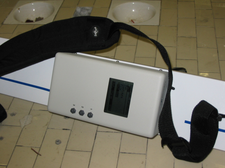
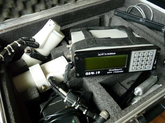 GEMSYS GSM-19 Magnetometer
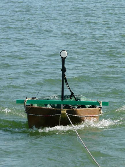 GEMSYS GSM-19 Magnetometer acquatic setup
ELECTROMAGNETIC INSTRUMENTS: composed of GEOPHEX Gem2 conductivity meter with various frequencies.
Field of application: geophysical characterization of the sub-surface for geological, environmental and exploration purposes, and also archaeogeophysics and conservation of cultural heritage.
 Geophex Gem2 Conductivity meter
SUB-BOTTOM PROFILER INSTRUMENTS: Acquisition system composed of 2 sets of 3.5 and 10 KHz transducers. The system is mounted on the boat designed specifically for geophysical investigations in the aquatic environment.
Field of application: geological characterization in a submerged environment.
 BATHY2010 marine acquisition unit with 3,5 - 10 KHz tranducers
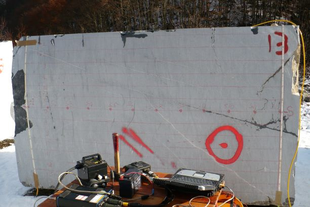
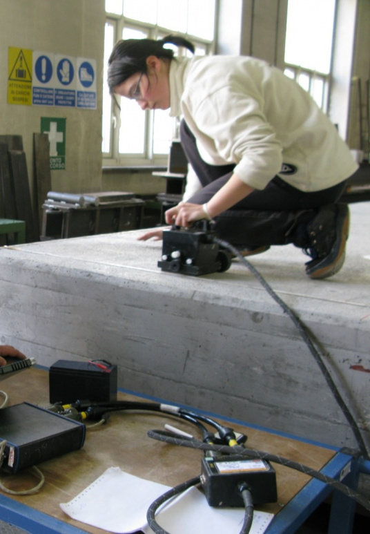
ULTRA-SONIC INSTRUMENTS: the instrumentation for the estimation of cracks and fractures of stone materials, which provides an acquisition of ultrasonic transducers.
Field of application: conservation of cultural heritage, mechanical characterization of rock samples for geotechnical and geo-engineering applications.
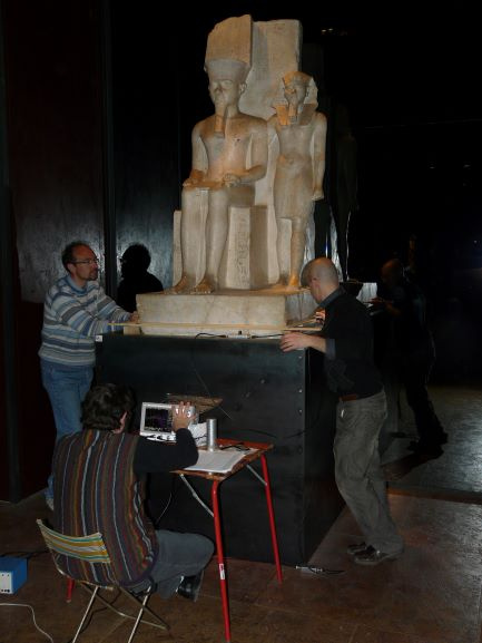 Stone material ultrasonic test
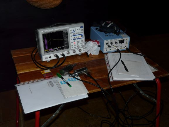 Ultrasonic acquisition Pundit unit
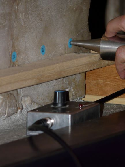 Pundit ultrasonic sensor unit
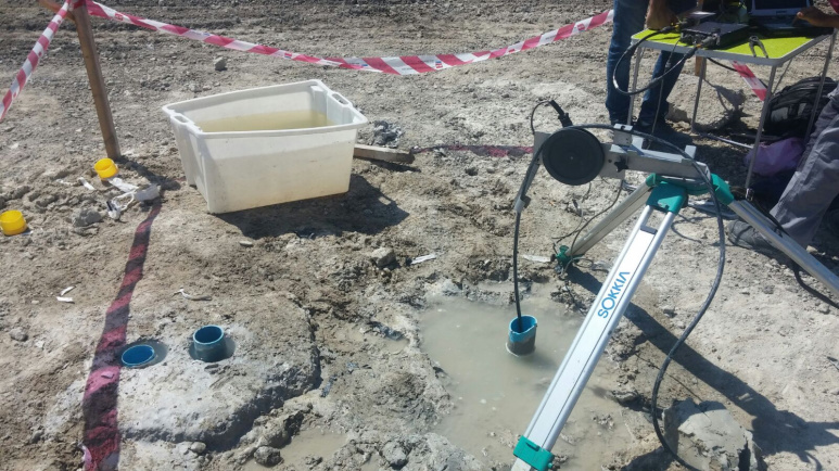
WCR INSTRUMETS: Acquisition system composed of transducers for estimating the water content.
Field of application: geohydrological characterization of the soil, snow masses and surface deposits.
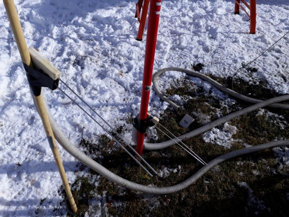 Snow caratherisation test with WCR sensors
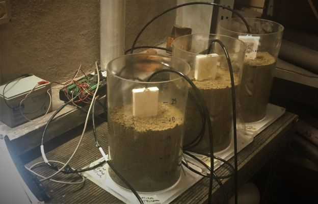 Campbell Datalogger with WCR sensors
| Site | DIATI - door 3 |
|---|---|
| Fax | +39 0110907699 |
| Staff |
|